
Looking Up Pico Rivera Neighbors
A block lookup has three layers. Parcel and GIS sources show land shape and nearby mapped features. City permits and notices show public activity at an address. A qualified voter file or a voluntary civic contact can add a narrow people or organization connection. None is a complete neighborhood roster. The best result states whether the evidence concerns a parcel, an owner, a project, a voter record, or a public contact.
| Source | What it shows about a block | Access |
|---|---|---|
| Assessor parcel map | Parcels, situs, public roll attributes | Free click-by-click search |
| GIS identify or buffer | Nearby mapped features, districts, layers | Free; layer dependent |
| Tract or subdivision map | Lot pattern and common legal origin | County or recorded map route |
| Permit list | Construction activity at nearby addresses | City library or focused request |
| Qualified voter file | Approved registration entries and fields | Purpose, fee, and certification limits |
| Directory street section | Historic subscribers or householders | Library volume and year dependent |
| City meetings and notices | Projects, comments, and public participants | Agendas and minutes; not a census |
The block coverage table prevents a map from being mistaken for a people search. Start with land, then add only the public record that answers the question.
Pico Rivera Parcel Neighbors
Run the target address through the Los Angeles County Assessor Portal. Save the AIN, situs address, tract or lot clues, use, year built, and assessment context. Open the parcel map and click the lots touching the sides, rear, and opposite side of the street. Record each AIN separately. A parcel is land, not a household.
Owner-mailing and situs details can help explain an address link, but a displayed owner is not proof of an occupant. Adjacent parcels may share a tract but have different ownership, legal descriptions, or public protections. The map is a starting layer for a block, not a full resident directory.
For county map tools, GIS-NET Public documents the controls used for identify, query, select, buffer, layer, report, print, and export functions.
Identify and Buffer a Pico Rivera Block
GIS-NET’s Identify tool returns attributes for a clicked feature. Query or Select can choose parcels or other layer features. Buffer can show a surrounding area, while Draw and Measure estimate geometry, distance, or area. Layers can add zoning, subdivision, imagery, or other services. Report, Print, and Export can preserve a research view when the tool permits.
Select the target parcel first. Use a small buffer for nearby features, then validate every returned AIN against the assessor and the relevant map. A measured distance is approximate, and a county map is not a legal survey. Incorporated Pico Rivera may rely on city or other county map services rather than the unincorporated-focused GIS-NET layer.
| GIS control | Block use | Caution |
|---|---|---|
| Identify | Inspect a clicked parcel or feature | Depends on the active layer |
| Query or Select | Choose parcels or tract features | Does not reveal every household |
| Buffer | See a surrounding area | Validate each result |
| Draw or Measure | Estimate distance or area | Not a legal survey |
| Layers | Compare subdivision, zoning, imagery | Service coverage varies |
Read the Whole Pico Rivera Tract
A tract map can explain why several neighboring parcels share a street pattern, lot sequence, or legal origin. It can also bridge a modern block to the large farm parcels that preceded postwar development. Save tract and lot clues from the assessor, then use recorded maps or county map sources to compare the block.
Historic Pico and Rivera were agricultural communities between the Rio Hondo and San Gabriel River. Rail lines in the 1870s, orchards, and later postwar tract construction shaped the street grid. A present block may have a short household history but a much older land history. Search the tract and lot, not just the current street number.
For older residents or a past block, use the library’s confirmed reverse directory volumes and the census. A historic street section can show subscribers or householders in number order, but missing years and unlisted people remain possible.
Pico Rivera Permit Clues Nearby
The Pico Rivera Laserfiche Online Records Library contains ordinances, resolutions, minutes, monthly building-permit reports, and new-business lists. A permit can show issue date, project address, work description, contractor or applicant, and valuation. That is useful for understanding what changed on a block, especially when a new tract or alteration explains a map difference.
Monthly reports are snapshots, not a complete resident or project history. A permit applicant is not proof of residence, and code-enforcement detail can be withheld when release would expose an active investigation or complainant. Search address variants and date ranges, then ask the City Clerk for a focused existing record when older detail is needed.
The city records library is the first online route for that public project layer.
Why Ownership Is Not Pico Rivera Neighbors
An assessed owner is a land connection. A deed party is a role in a recorded instrument. A permit actor is tied to a project. A historic directory entry is tied to a publication window. None of those labels alone means “current neighbor.” Leases, utility customer lists, DMV addresses, and household members are not an open block roll.
Use the Recorder only after converting a parcel into a person name and recording year. Use the county voter route only under its approved purpose. A postal city label is routing, not a final jurisdiction. A same-name result from any source needs a second anchor before it is attached to a parcel or block.
| Official land or civic source | Commercial profile category |
|---|---|
| Assessor and recorded map show parcel identity | May merge old and current address data |
| Recorder shows named party and legal instrument | May flatten party roles into one profile |
| City permit shows a project and date | May show an inferred association without context |
| Qualified voter file follows use rules | May display stale or unrelated connections |
Official records are narrower, but their custodian and record purpose are visible. A commercial category can be a lead only; it cannot replace the office that holds the source record.
California Voter Limits on a Block
The LA County voter status tool is for an individual’s own registration and election information. A qualified voter file is different. Elections Code section 2194 restricts voter-registration information to election, scholarly, journalistic, political, or governmental purposes as determined by the Secretary of State. It is not a free block directory.
The county’s order process asks for requester or organization data, geographic file, election or registration file type, requested fields and format, purpose category, delivery, signature, lawful-use certification, and payment. Published fees are $146 countywide, $54 for a precinct, district, or city, and $39 for each added file. Confidential and Safe at Home voters have address protections.
The LA County voter information request page shows the official file-order route.
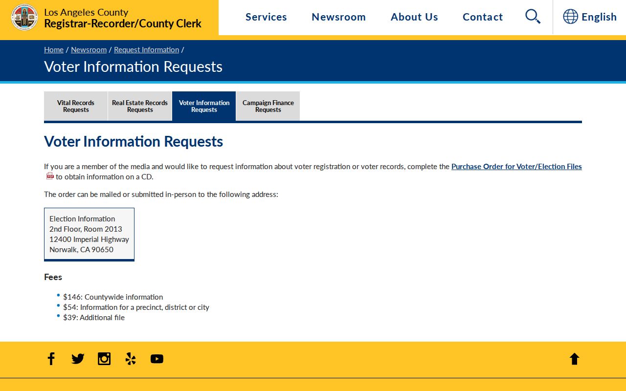
A voter file can support a qualified civic purpose, but it cannot be republished as a casual list of Pico Rivera neighbors.
Civic Contacts Around Pico Rivera
No official Pico Rivera umbrella directory of neighborhood associations or public member rosters was located. The documented civic layer is narrower: City Council districts, commissions, parks, council meetings, library programs, agendas, minutes, and public notices. A private HOA, congregation, block watch, or club may publish an officer or contact point, but membership remains private unless voluntarily made public.
| Documented civic contact | What it can offer | What it cannot promise |
|---|---|---|
| City Council meetings | Agendas, minutes, project comments | A complete participant list |
| Commissions and parks | Public programs and official roles | Private member addresses |
| Pico Rivera Library | Catalog, local history, public programs | Current patron or resident names |
| Voluntary organization contact | Published officer or inquiry route | Every member or household |
Use the official community context page for local history and civic orientation. Do not infer that a public contact speaks for all neighbors.
The RR/CC public-records request page is the county route when an existing civic or records document is not online.
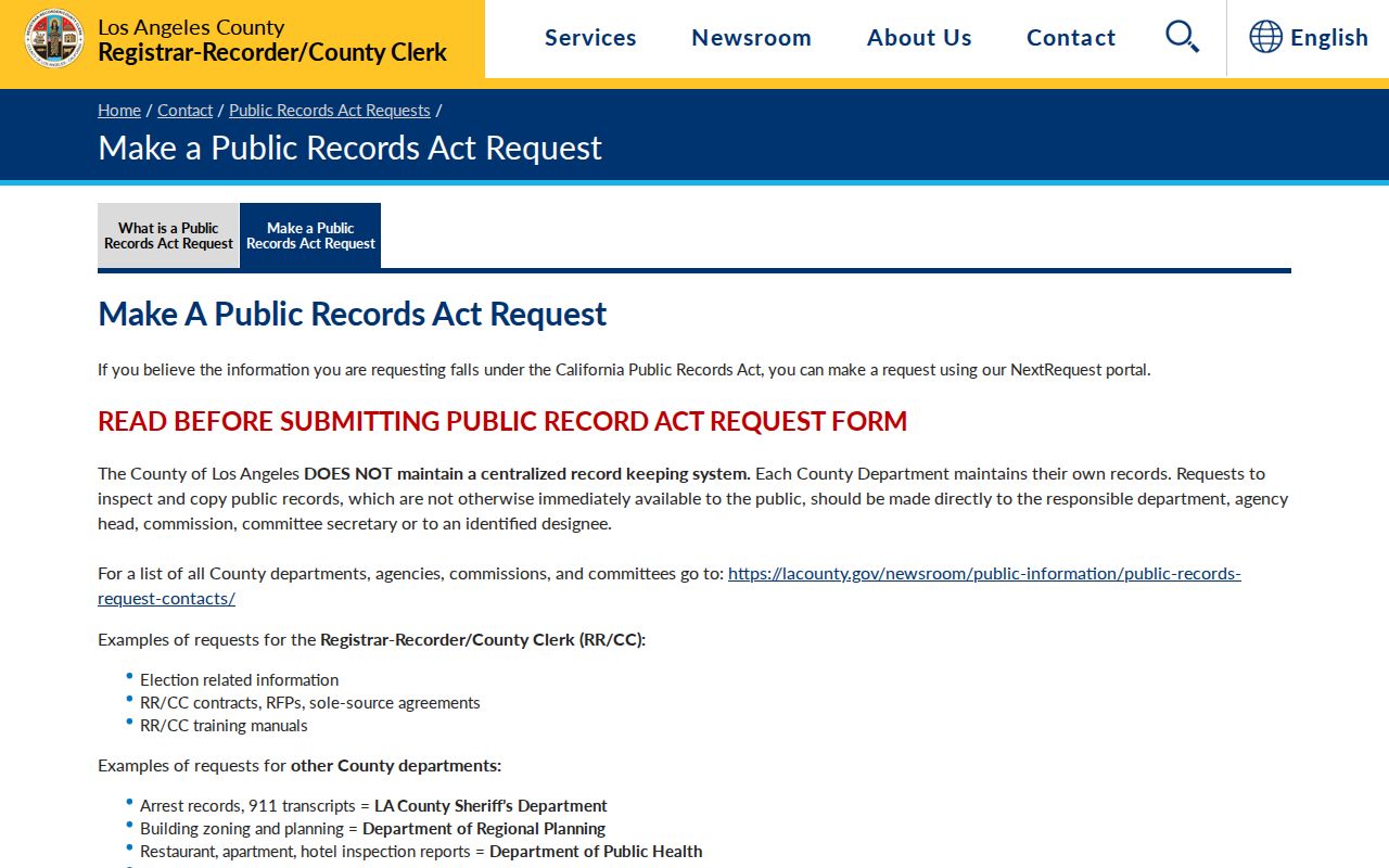
A focused request names the agency, record series, address or date range, and format. It does not require the agency to create a block roster.
Privacy for a Pico Rivera Block
California Safe at Home can give qualifying survivors and certain threatened workers or public employees a substitute mailing address and mail forwarding. Government Code section 6208.1 and related rules restrict malicious display and protect qualifying addresses. Never try to reverse a substitute address. The official Safe at Home information explains eligibility and protection.
The Safe at Home program is a privacy safeguard for protected people, not a puzzle to solve.
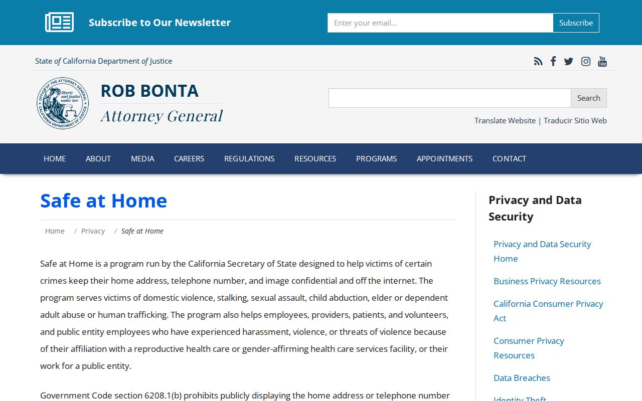
When a protected address is involved, use the program’s official process and do not publish or infer the substitute location.
The California Consumer Privacy Act, Civil Code section 1798.100 and following, supplies rights to know, access, delete, correct, opt out of sale or sharing, and limit certain sensitive-data uses, subject to exceptions. The California DROP platform launched in 2026 for one request to more than 500 registered data brokers. Broker deletion begins on the schedule reported by the Attorney General, while county land records remain with the county custodian.
California’s privacy tools are better used to protect a person’s data than to build a block roster.
Read the California privacy rights page for state rights and the data-broker workflow.
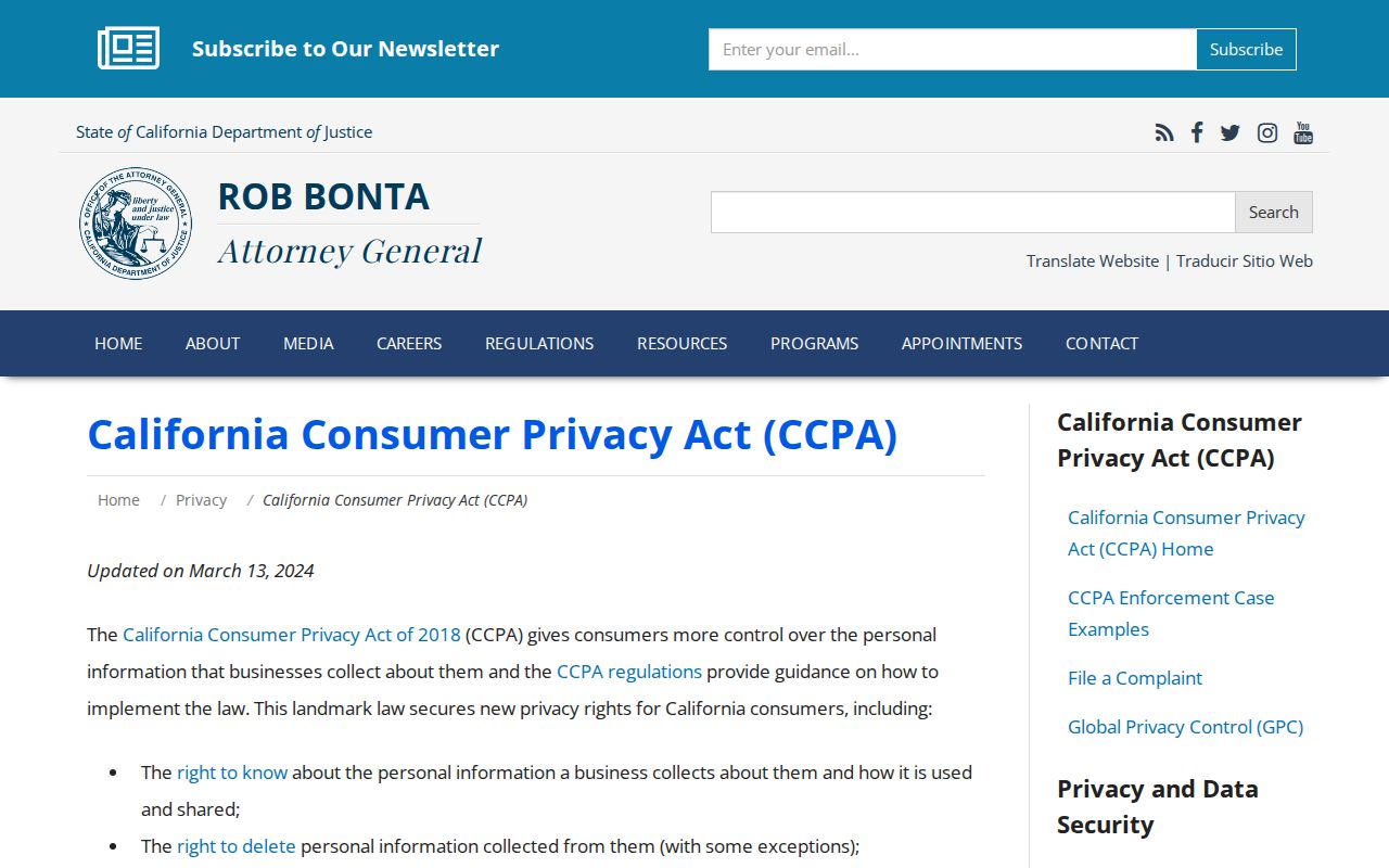
CCPA rights can address certain private-sector data, while a public parcel or court record follows its own retention and access rules.
The DROP platform provides a centralized request route for registered brokers.
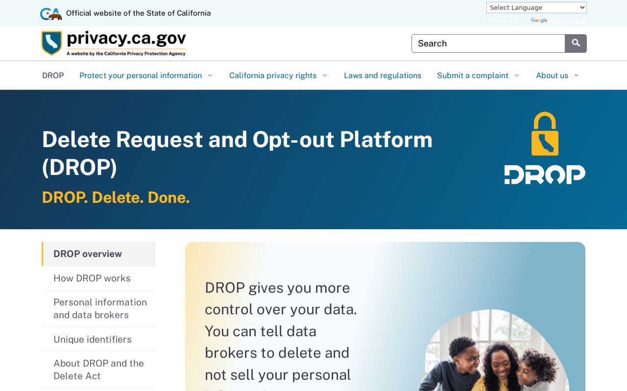
Use the official DROP platform for the current deletion process and keep the confirmation.
A final block lookup should end with the public record’s purpose, date, and privacy limit, not with an assumption that every nearby person has been found.
Use Pico Rivera Neighbors Records Lawfully
A map, parcel record, permit, civic notice, or directory entry can support personal, lawful research. It cannot establish a complete block roster. Keep the exact source, date, layer, and record role with any note. If a question concerns one person, shift to the resident lookup; if it concerns a whole named street, shift to the street directory.
Personal-use limit. Do not use a Pico Rivera neighbors search, address, voter record, map, or public notice to stalk, threaten, intimidate, or harass anyone.
That limit protects both the people named in public records and the accuracy of the research. Official availability is not permission to infer private facts or republish a list of neighbors.