
Finding a Pico Rivera Street Address
A street-by-street search works best as a chain. The assessor supplies the parcel identity. The map shows its relation to other lots. The Recorder supplies recorded party roles after a name and year are known. City permits add dated work evidence. A reverse directory can add a past subscriber or householder. A voter file, when lawfully obtained, has its own limits and is not a public browse tool.
Use the same address in several forms. Try a standardized street line, a directional prefix, a number with and without a unit, and the place label returned by USPS. Save the AIN and legal description before leaving the parcel portal. Do not assume that a current street number existed before postwar tract building or that a postal city label sets the municipal boundary.
- Run the address through the Los Angeles County Assessor Portal and save the AIN, situs address, legal clues, year built, and assessment history.
- Open the parcel map and click nearby parcels. Record adjacent AINs, tract or lot clues, map layers, and the limits of what the viewer says.
- Use the RR/CC real-estate request route to search the current owner’s name in the likely recording year. The Recorder does not accept an address or AIN as its index key.
- Read each deed’s legal description and keep only instruments that match the parcel. Follow a grantor backward as a prior grantee when the description remains the same.
- Search the Pico Rivera records library for permit lists, project addresses, reports, and dates. Treat project actors as evidence of work, not residence.
- For past occupants, ask the library to confirm a reverse or criss-cross volume before using its street section.
Pico Rivera Assessor Map Fields
The assessor is the address-first part of the Pico Rivera street directory. Basic Search accepts an AIN or street address through autocomplete. Legal Search can use tract, map-book, page, or parcel clues where the form exposes them. Map Search lets a reader pan, zoom, and select a parcel. A result can contain an AIN, situs, property use, values, tax-rate area, year built, building character, legal description, map, and assessment history.
The portal’s parcel profile is a land record view. It does not promise the name of every owner, every household member, or every occupant. A tax mailing address can differ from the situs. Assessment history may help estimate an acquisition window, but the roll’s effective date is not proof that a deed recorded that same day.
| Field or mode | Type | Use in a street search |
|---|---|---|
| Search by AIN or Address | Autocomplete text | Find the standardized parcel |
| Legal Search | Form or tab | Bridge tract, map-book, page, and parcel clues |
| Map Search | Interactive map | Select a lot and compare nearby parcels |
| Search | Button | Submit the selected match |
The Assessor Portal is the cleanest source for an exact situs starting point.
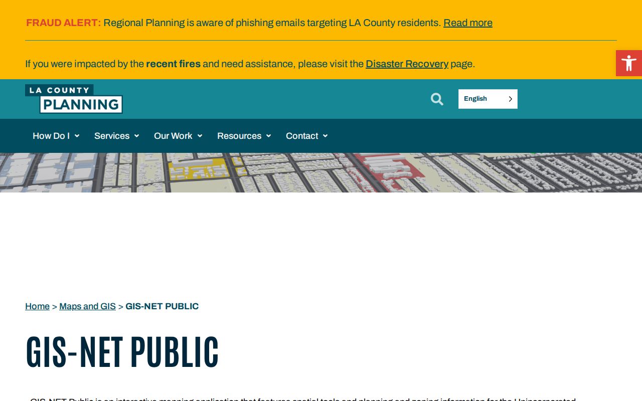
GIS-NET is aimed mainly at unincorporated county territory, but its documented identify, query, buffer, layer, and report tools help at county edges. Incorporated Pico Rivera parcel work should begin with the Assessor Portal and then use the appropriate city or county map service.
Pico Rivera Situs and Mailing Addresses
A situs address locates the physical parcel. A mailing address tells the assessor or tax office where correspondence goes. A legal description identifies the tract, lot, or metes-and-bounds land identity that controls the deed. These are three different address forms, and a street directory search can fail when they are treated as one.
- Parcel
- A mapped unit of land tied to an AIN and assessment record.
- Situs address
- The physical location used by the assessor and often by permits.
- Legal description
- The tract, lot, or other land description used to identify the property in a recorded instrument.
- Criss-cross directory
- An older reverse section that may move from a street and number to a subscriber or householder.
A mailing address that differs from the situs may suggest an owner who receives tax notices elsewhere. That clue is not a resident list. A matching mailing and situs address is only weak owner-occupancy evidence. Use the deed, permit, directory, and any lawful voter route for separate corroboration.
Normalize the address through USPS ZIP Code Lookup before comparing systems. USPS can return a standardized address and ZIP+4, but postal routing does not decide whether a parcel sits inside Pico Rivera city limits.
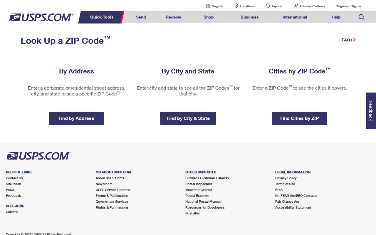
The USPS result makes the address form stable before it is carried into the assessor, city library, or Recorder search.
The main Pico Rivera Post Office detail identifies a Passons Boulevard facility and nearby stations. Hours and services can change, so use the live USPS record for a visit.
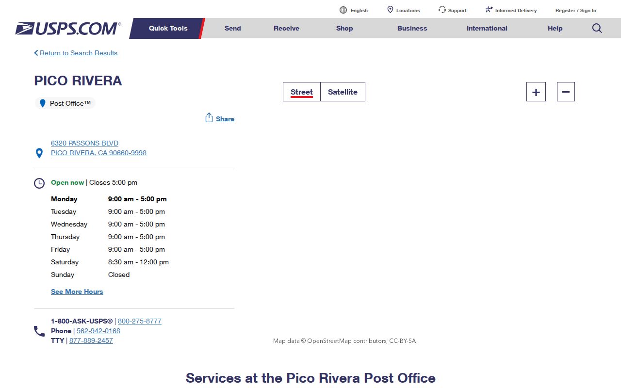
Postal information helps clean the search key, but it does not add the names of residents to a street directory.
Pico Rivera Deed Index Conversion
Los Angeles County Recorder real-estate records reach back to 1850, but the public index is alphabetical by party name and recording year. It is not a web address index. The practical conversion is address to AIN, AIN to assessed owner and acquisition clue, then owner to name and year. The result can include deeds, deeds of trust, reconveyances, liens, releases, easements, notices of default, and maps.
The Norwalk public indexes are the in-person route. A written request should identify the document title, names, and recording year or the years to search. The published search charge is fifty cents per name per year, with a one-dollar minimum. A certified real-estate copy is six dollars for the first page and three dollars for each added page. Mail requests go to Real Estate Records, P.O. Box 1130, Norwalk, CA 90651-1130. County guidance also describes online or fax credit-card ordering through an authorized vendor, with service and delivery charges.
The Recorder request page states the offline index limitation.
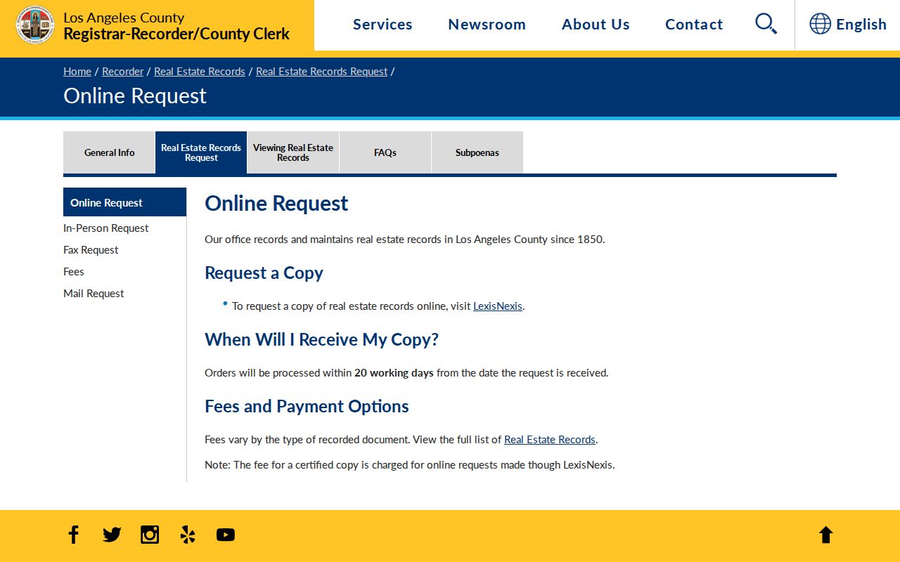
Once the current owner and likely year are known, the office index can be used as a name and year tool rather than an address tool.
A recorded deed’s sample fields include indexed party name, document number, recording date, document title, party roles, grantor, grantee, legal description, return or mailing address, transfer-tax notation, signatures, and notary acknowledgment. Older material may use book and page. The deed copy is not a free online image. Safe at Home addresses, official addresses, military discharge records, and protected identifiers have special restrictions.
Use the county’s Recorder services page to verify the current request channel and copy rules.
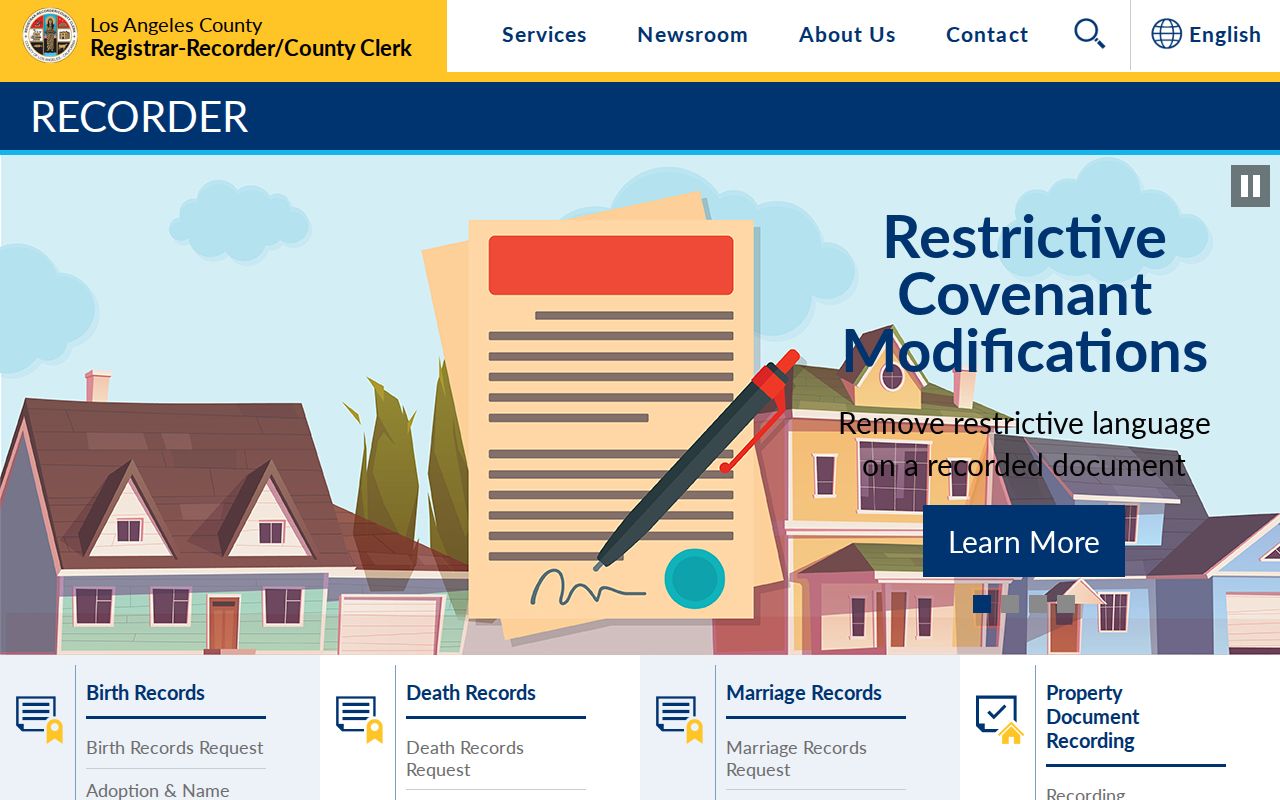
Keep only documents whose legal description matches the parcel. A lien or deed of trust is not an ownership transfer, and a quitclaim deed alone does not prove a sale.
Pico Rivera Tracts and GIS Layers
GIS adds shape and context to the address chain. County GIS-NET documents address, AIN, intersection, community, identify, query, select, buffer, draw, measure, layers, report, print, and export tools. A click can expose a parcel profile or a nearby mapped feature. A buffer can find surrounding features. A tract or subdivision map can connect modern numbers to a common legal origin.
Use a small buffer for research, then validate every returned parcel against the assessor and legal map. Measure tools show approximate distance, not a legal boundary. The map is not a survey. Incorporated Pico Rivera layers may come from city or other county services, while GIS-NET focuses mainly on unincorporated territory and nearby edges.
| GIS tool | Street use | Limit |
|---|---|---|
| Identify | Click a parcel or feature | Layer-dependent attributes |
| Query or Select | Choose parcels or tract features | Not a household roster |
| Buffer | Look around an address | Distance is approximate |
| Layers | Compare zoning, subdivision, imagery | Service coverage varies |
| Report or Export | Save a parcel or map view | Output depends on the tool |
Older aerial sets from 2011, 2008, 2006, and 2001 to 2002 have a loading warning on the county page. A layer failure is not proof that the imagery never existed. For house history, use the aerial clue with deeds, permits, and subdivision records.
Pico Rivera Permit Evidence
City building-permit reports provide a dated address clue. A report may name the project address, issue date, work description, contractor or applicant, and valuation. The Laserfiche archive also holds monthly new-business lists, ordinances, resolutions, minutes, and other city reports. Search an exact number, then test street variants and a date range.
Permit evidence is useful for finding when a home or commercial site changed. It is not a complete people directory. An applicant can be a contractor, owner, agent, or business contact. Code-enforcement material can be withheld if release would expose an active inquiry or complainant. Older detail may need a focused CPRA request to the City Clerk or the department that holds the file.
At the county property-tax portal, an AIN can be used to review tax-bill and payment context.
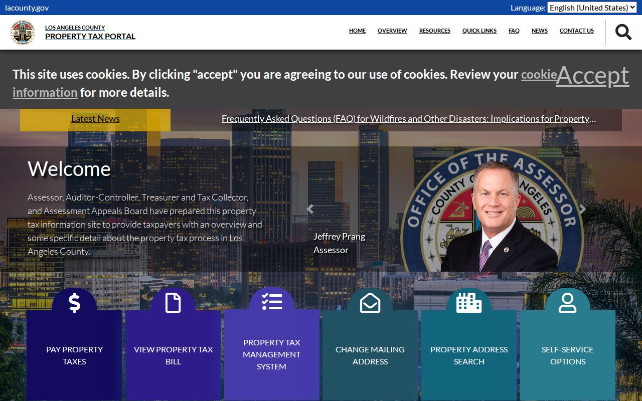
Tax history can cross-check the parcel, while the city permit archive supplies the project timeline.
Pico Rivera Records Along Streets
Address-keyed sources overlap without becoming interchangeable. The assessor is good for a parcel. GIS is good for shape and adjacency. The Recorder is good for recorded parties after a name and year are found. Permits are good for work at a site. A reverse directory is good for a historic subscriber or householder when the correct volume exists. The voter route is a restricted registration service rather than a street browse.
| Street record | Keeper | What it shows | Access |
|---|---|---|---|
| Assessment parcel | LA County Assessor | AIN, situs, values, characteristics, history | Free address or AIN portal |
| Parcel map or GIS | County and city map services | Lots, tract context, nearby features | Free viewer tools |
| Recorded instruments | LA County RR/CC | Grantor, grantee, liens, maps, legal description | Name/year index and paid copies |
| Permit reports | Pico Rivera City Clerk | Work, date, project actors | Laserfiche or focused request |
| Reverse directory | Library or archive | Past subscriber or householder | Volume and year dependent |
| Voter record | LA County elections | Registration connection if qualified | Purpose-limited file or self-lookup |
That coverage table keeps the street directory honest. No single record set names everyone at every door. A parcel owner can live elsewhere, a voter can have moved, a permit can name a professional, and an old directory can omit an unlisted household.
Reading a Pico Rivera Reverse Directory
Older reverse or criss-cross directories can turn a street number into a subscriber or householder name. First confirm the title page, publisher, edition date, coverage statement, and abbreviation key. Then read the street section in number order and note adjacent entries. Neighboring numbers can reveal a changed sequence or a missing lot, but they do not supply a modern block roster.
Search Pico and Rivera separately for pre-1958 material. A historic place label may put the same land under Whittier or a county suburban heading. Search surname spellings with initials, married names, compound surnames, omitted accents, and hyphenated or unhyphenated forms. These are search variants, not identity conclusions.
The library’s city-directory collection is described at LA County Library local history. Exact Pico-specific publisher and year runs were not verified in the open catalog, so a librarian should confirm a volume before a citation is treated as local proof.
Pico and Rivera Before 1958
Pico Rivera grew from two agricultural communities. Rail lines arrived in the 1870s, and citrus, avocado, and walnut groves shaped the land between the Rio Hondo and San Gabriel River. After World War II, large farms were cleared for tract homes, schools, churches, commercial sites, and industrial uses. A present street can therefore sit on an older legal parcel whose earlier address was a route, farm, or lot description.
The January 7, 1958 incorporation vote unified the name Pico Rivera and created a municipal record stream. City Clerk records meaningfully begin at or after incorporation, while county land and vital records predate it. Search earlier directories under Pico, Rivera, Whittier, and county coverage before deciding that a resident or address is missing.
Use parcel maps and deeds to cross the agricultural-to-tract break. Then use the directory book route for historic editions and the previous-residents route for a backward address chain.
Limits of a Pico Rivera Street Directory
A street directory cannot show every person in a household. Leases, utility customer lists, and DMV address data are not an open household roll. A renter, family member, child, protected person, or unlisted subscriber may leave no public address-keyed entry. The owner on a parcel roll is not automatically the person living there.
Voter information has purpose limits under California Elections Code section 2194, and Safe at Home participants can have address protections. Court, vital, juvenile, adoption, and sealed records have their own rules. A postal city is a delivery label, not a final answer about jurisdiction. Every apparent match needs a custodian-level check.
Lawful use. Pico Rivera parcel and street records may support personal, lawful research. Do not use a name, address, map, or public record to stalk, threaten, intimidate, or harass anyone.
For one person, move to the Pico Rivera resident lookup. For the block around one parcel, use the neighbors lookup. The street directory remains the address chain, not a promise of a complete resident list.